|
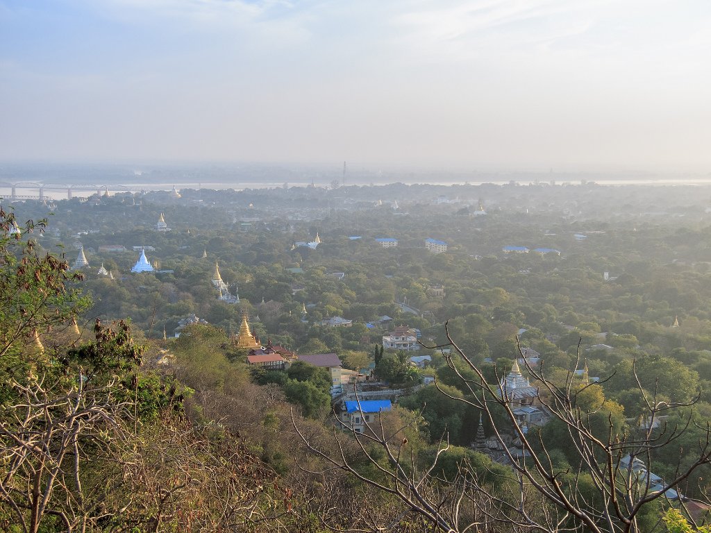 |
| 02-On Sagain hill | |
| Latitude: N 21°54'10,71" | Longitude: E 95°59'30,46" | Altitude: 216 metres | Location: Shinhla | State/Province: Sagain | Country: Myanmar | See map | |
| Total images: 6 | Help | |
|
|
|
| 02-On Sagain hill | |
| Latitude: N 21°54'10,71" | Longitude: E 95°59'30,46" | Altitude: 216 metres | Location: Shinhla | State/Province: Sagain | Country: Myanmar | See map | |
| Total images: 6 | Help | |